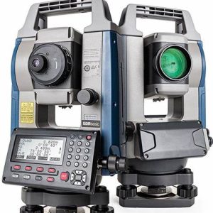
3D Scanner, Sokkia
GLS2200
- Unique scanning mode that can capture dense wet concrete data and larger areas
- Get cleaner data with 1mm Plane Fit accuracy through MAGNET Collage
- HDR imaging capability enhances 3D model rendering results
- Surveyor-style setup synchronizes the scanner with the same coordinate system as the design file, reducing post-processing time
- Unequaled 200m setup target range reduces number of setups
- API that allows 3rd party software to directly interface with the scanner for unique industry applications